 |
| Orkney Archive Reference D2/7/3 - Undated sketch chart for soundings at Stromness Harbour |
UPDATE:
We've had some thoughts about the above map sent in by an instagram follower:
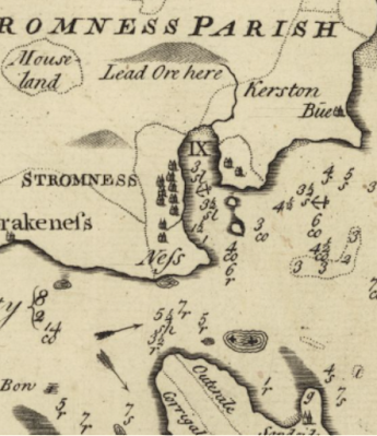
Compare it to Murdoch MacKenzie’s map of Pomona or main-land dated at 1750 – by the NLS (https://maps.nls.uk/coasts/chart/4143)
Date: 1750.
And Greenvile Collins and Herman Moll The Islands of Orkney 1693? https://maps.nls.uk/coasts/chart/182
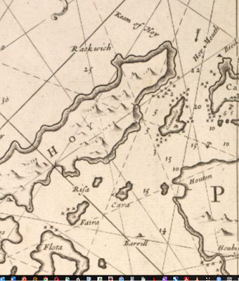
Look at the depth markings – they are pretty much identical for the MacKenzie map but deeper than the Collins and Moll. Also, the shading (for shallows, I guess) off the northeast tip of Graemsay is identical.
So at a guess, your new old map is either drawn from the Murdoch map or is something that Murdoch used – i.e. c. 1750 maybe a few years earlier?
